
Destination
Gasa
A ridge-top dzong, hot springs and the way to Laya
- 2,800 m
- Mar–May, Oct–Nov
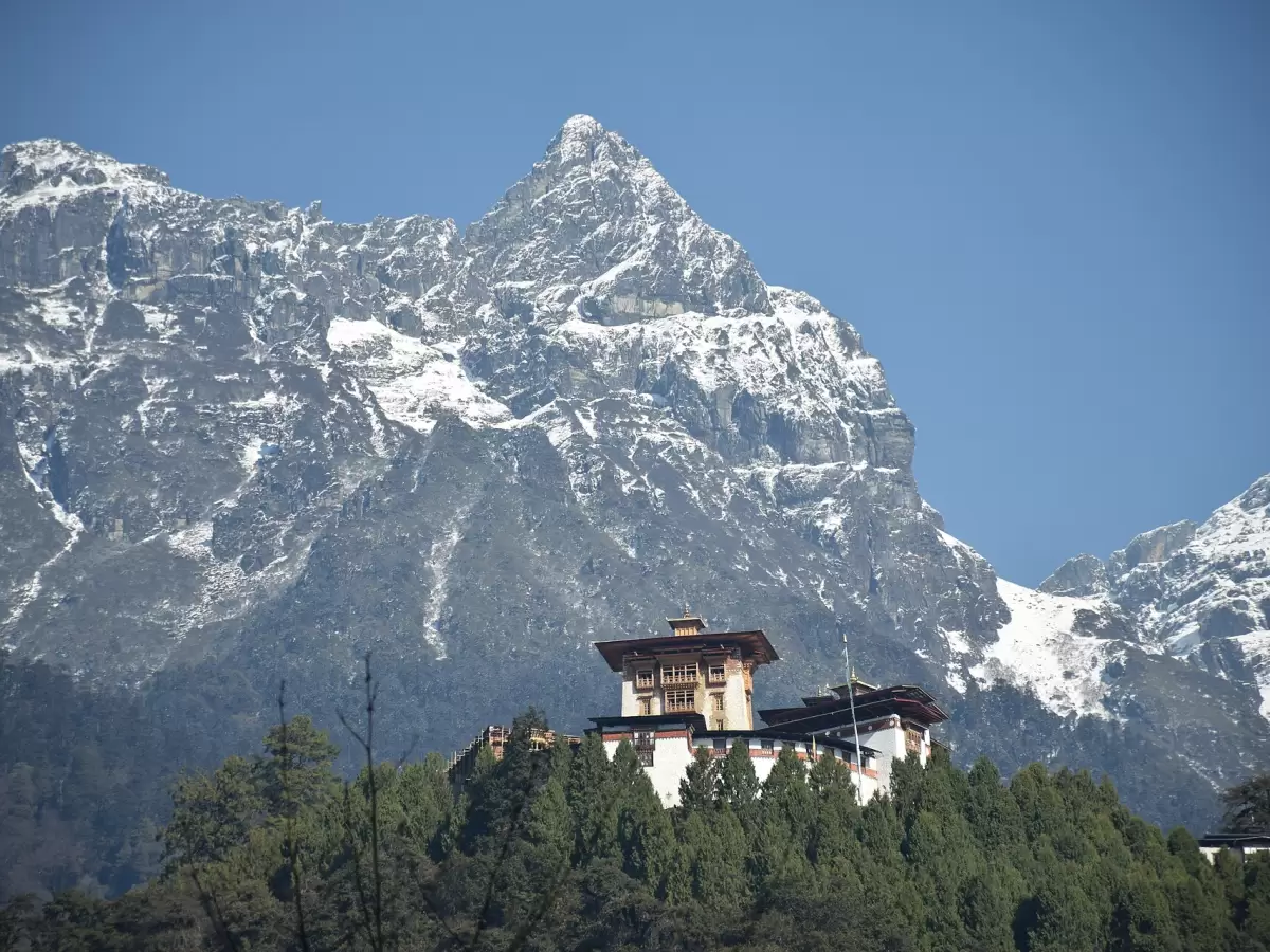
The valley
About Gasa
Gasa is the district north of Punakha, running up to the border with Tibet. Nearly all of it lies inside Jigme Dorji National Park, and the land climbs from about 1,500 m in the river valleys to 4,500 m and higher.
Most visitors come for one of two things. The first is Gasa Dzong, properly Tashi Thongmon Dzong, which stands at about 2,800 m and is said to have been built by Zhabdrung Ngawang Namgyal in the 1640s. The second is the tshachu, the hot springs beside the river below the dzong, where families from all over Bhutan come to soak in winter.
Beyond Gasa the walking begins. Laya, at about 3,800 m, is one of the highest villages in Bhutan. Both of our long northern treks come through this country.
See and do
What to see
-
Gasa Dzong
Tashi Thongmon Dzong, at about 2,800 m, said to date from the 1640s and named after the district's protecting deity.
-
Gasa Tshachu
Hot springs by the river below the dzong, busiest in winter, when Bhutanese come to bathe.
-
Laya
A highland village at about 3,800 m, reached on our Laya-Gasa trek and passed on the Snowman trek.
-
Jigme Dorji National Park
The national park that covers almost the whole district.
Go there
Trips that visit Gasa
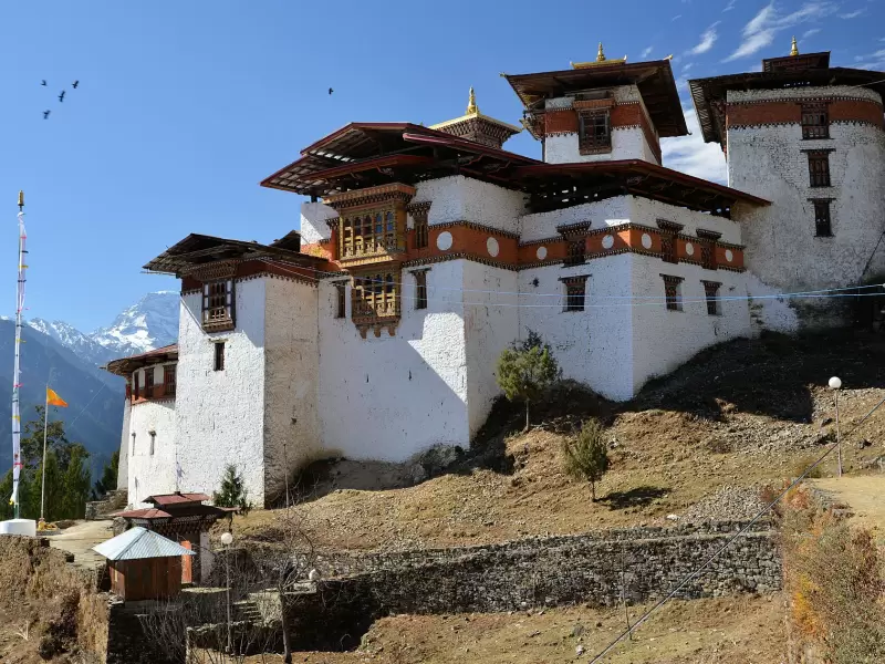
Trek
Laya–Gasa Trek
Paro, Punakha, Thimphu
Twelve days along Bhutan's northern border, from Jomolhari base camp over five passes to the highland village of Laya and the hot springs of Gasa.
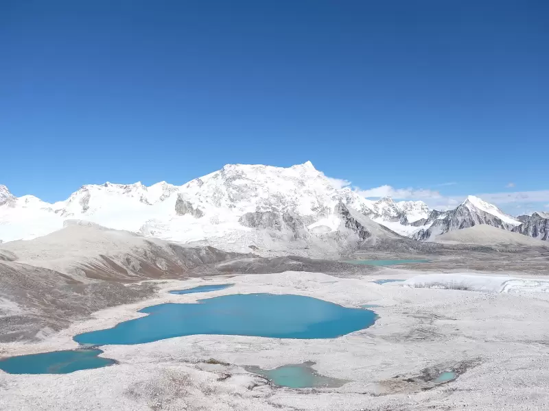
Trek
Snowman Trek
Paro, Punakha, Thimphu
Twenty-four days across the roof of Bhutan, through Laya and the remote valleys of Lunana, over passes above 5,000 m.
Festivals
Festivals in Gasa
Gasa Tshechu
A dance of twenty-one men, under the snow peaks
Questions
Good to know
Which treks need permits?
The Bumdra, Tsaluna, Druk Path and Dagala Thousand Lakes treks need no special permit. The Jomolhari, Soi Yaksa, Laya–Gasa and Snowman treks run close to the northern border and through Jigme Dorji National Park, so they need both an army permit and a park permit. We apply for these as part of your booking, and there is nothing you need to do.
Will I get altitude sickness?
On a cultural tour it is unlikely to be more than mild. Paro and Thimphu lie between 2,200 m and 2,350 m, where many people notice a little breathlessness or a light headache for the first day. The highest points are Tiger’s Nest at 3,120 m and road passes of 3,100 m to 3,988 m, which you visit and come down from.
Treks go much higher, and we plan them with acclimatisation days. Walk slowly, drink plenty of water, avoid alcohol for the first days, and tell your guide at once if you feel unwell. If you have a heart or lung condition, speak to your doctor before booking. More in altitude in Bhutan.
Where it is
Gasa on the map of Bhutan
Next door: Punakha Thimphu Wangdue Phodrang
Choose a district to read about it.