
Destination
Samtse
The warm south-western corner
- 380 m
- Oct–Mar
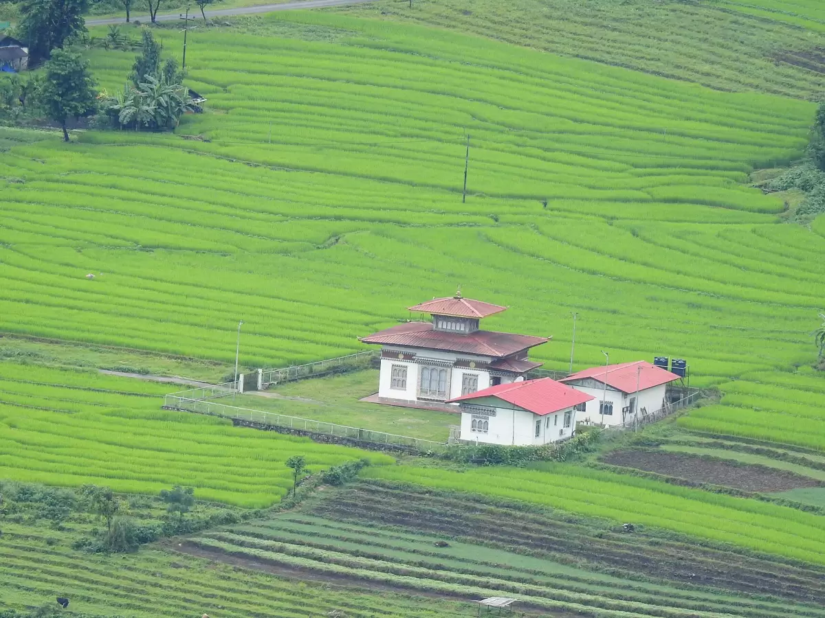
The valley
About Samtse
Samtse is the south-western corner of Bhutan, bordering the Indian states of West Bengal and Sikkim. Samtse town is at about 380 m, and the country around it is subtropical forest and farmland, quite unlike the high valleys further north.
Most people here are Lhotshampa, and Nepali is the main language. The district is also home to the Lhop, or Doya, a community of about 2,500 people with customs of their own.
Farmers grow oranges, cardamom, ginger and areca nut, much of it sold across the border.
None of our set itineraries goes to Samtse. If you would like to see it, tell us when you write, and we will say plainly what is possible on a tailor-made trip.
See and do
What to see
-
Samtse town
The district's headquarters, at about 380 m.
-
Farm country
Oranges, cardamom, ginger and areca nut are the main crops.